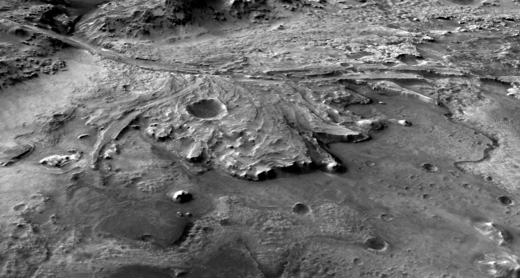
Mars Mosaic images come from the Mars Reconnaissance Orbiter (MRO) Context Camera (CTX). Individual images have a resolution of roughly 6 meters per pixel.
MRO was launched in August 2005 and has been orbiting the Red Planet since March 10, 2006. The CTX is designed to provide a wider angle view of features observed by other instruments, such as the High Resolution Imaging Science Experiment (HiRISE), which can see a small region of Mars at a typical resolution of 0.5 meters per pixel. CTX images are stripes with a width of 30km (19mi), and lengths up to 160km (99mi).
The CTX was built and operated by the Malin Space Science Systems (MSSS). Data is available for free through the NASA-funded Planetary Data Systems Geosciences Node at Washington University in St Louis, MO, and many of the most interesting images are available with informative descriptions through the NASA-funded Photojounal project hosted by JPL at CalTech.
All CTX images on this site are credited to NASA/JPL-CalTech/MSSS.